Dernford Nook Maps |
|
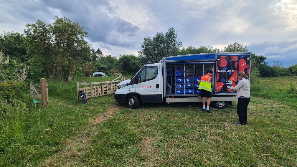
Dernford Nook is on the southern outskirts of Stapleford, itself on the southern outskirts of Cambridge The nearest train station is Shelford Railway Station, about 11/3 miles walk for trains to Cambridge, London or Kings Lynn The nearest bus stop is called Church Street, Stapleford and is about 3/4 of a mile away for the Number 7 bus between Cambridge and Saffron Walden The nearest convenience store is Spar on the corner of Church Street, near the bus stop. Tesco deliveries to the site gate By car the simplest is J10 off the M11 at Duxford and head East at the Imperial War Museum roundabout on the A505 signposted Saffron Walden and Sawston, then after 2 miles left, north, at the BP Petrol Station and 24x7 McDonalds at the next roundabout signposted Sawston and The Shelfords onto the A1301 and then after three miles, just after the traffic lights, left into the site, and before going over the bridge into Stapleford. Location is
Cycle and hike-friendly routes to the campsite from your scout group are available: |
 View the site in 3D |
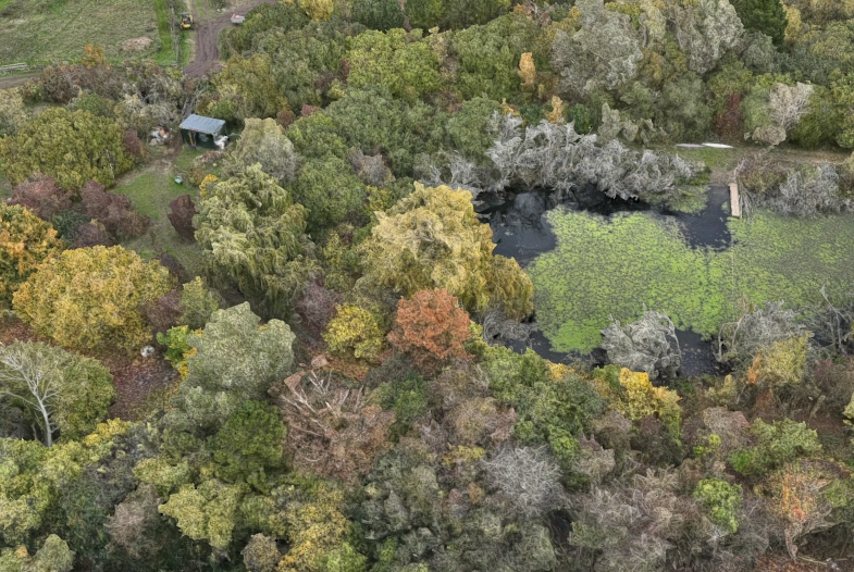
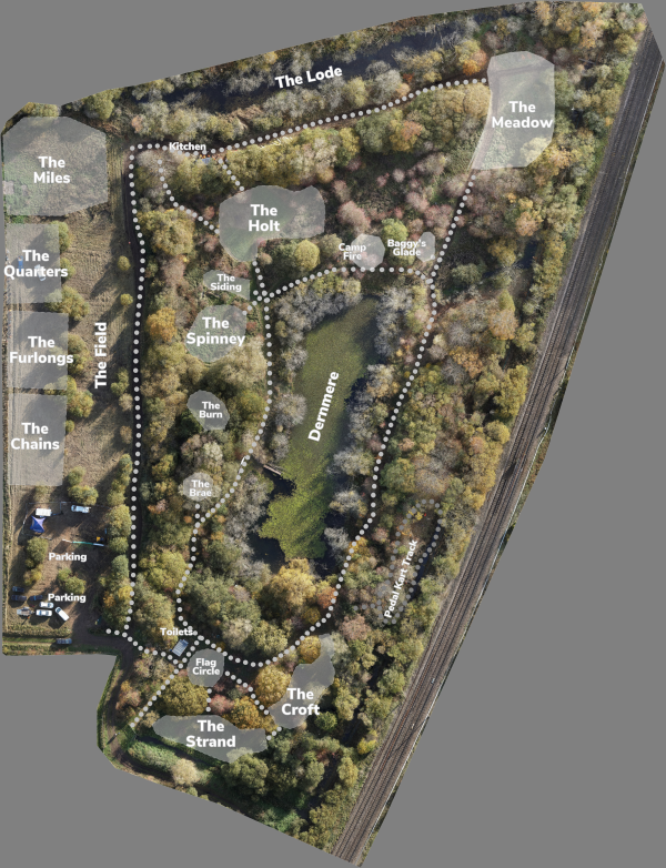 Labelled Map |
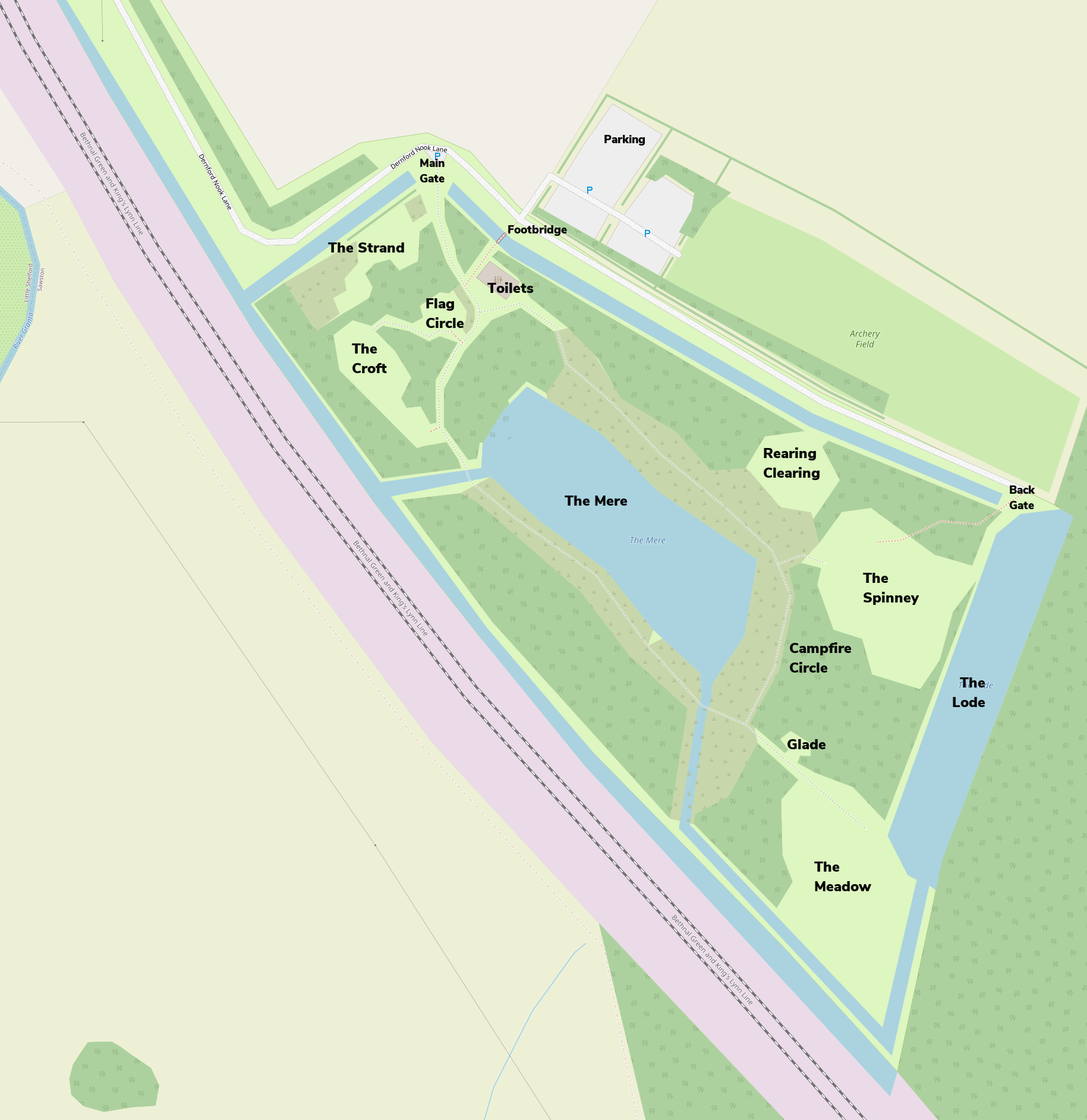
Also available with National Grid lines |
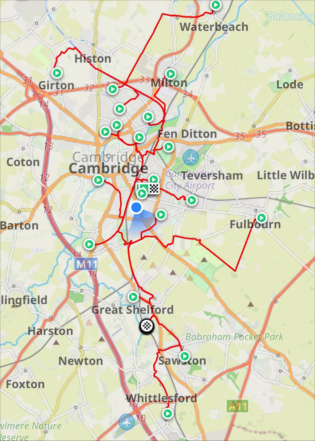
Routes from each of the Cambridge District Scout Groups to walk or cycle to the site |
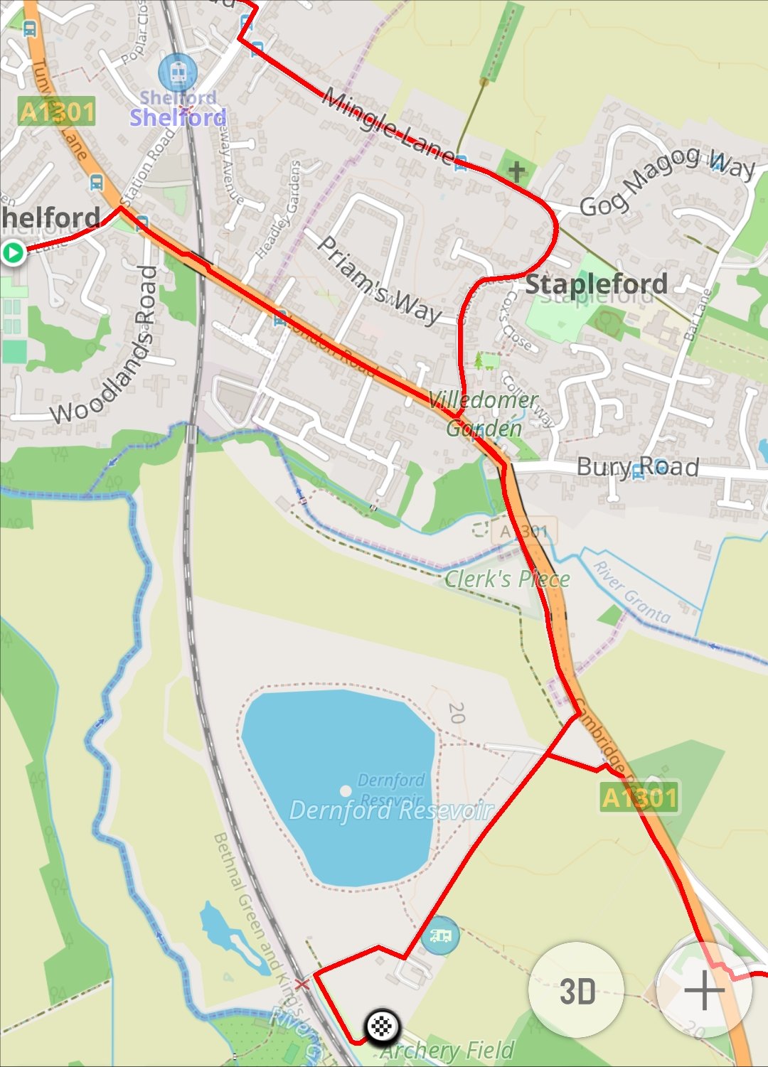
Routes locally on the southern edge of Stapleford |
| Dernford Nook Campsite | |||||||
| Bookings | Activities | Facilities | Resources | Maps | Gallery | Contact | |
